Sale Price:
£165.00
Original Price:
£245.00
Very rare set of original German invasion maps of Belgium, complete with town street plans and the original orange card folder.
Dated 20 January 1940, just a few months before the invasion of Belgium and the Low Countries, this fascinating set comprises four detailed military maps, a town street plan booklet, and the original issue folder.
All items are in fantastic condition, with the maps remaining clean, bright, and highly presentable. The original folder is also exceptionally well preserved for its age.
The maps are particularly impressive when fully unfolded, revealing a huge amount of detail intended for military planning and navigation.
A scarce and desirable pre-invasion German military map set, ideal for collectors of Second World War militaria, military cartography, or campaign-related artefacts.
Very rare set of original German invasion maps of Belgium, complete with town street plans and the original orange card folder.
Dated 20 January 1940, just a few months before the invasion of Belgium and the Low Countries, this fascinating set comprises four detailed military maps, a town street plan booklet, and the original issue folder.
All items are in fantastic condition, with the maps remaining clean, bright, and highly presentable. The original folder is also exceptionally well preserved for its age.
The maps are particularly impressive when fully unfolded, revealing a huge amount of detail intended for military planning and navigation.
A scarce and desirable pre-invasion German military map set, ideal for collectors of Second World War militaria, military cartography, or campaign-related artefacts.

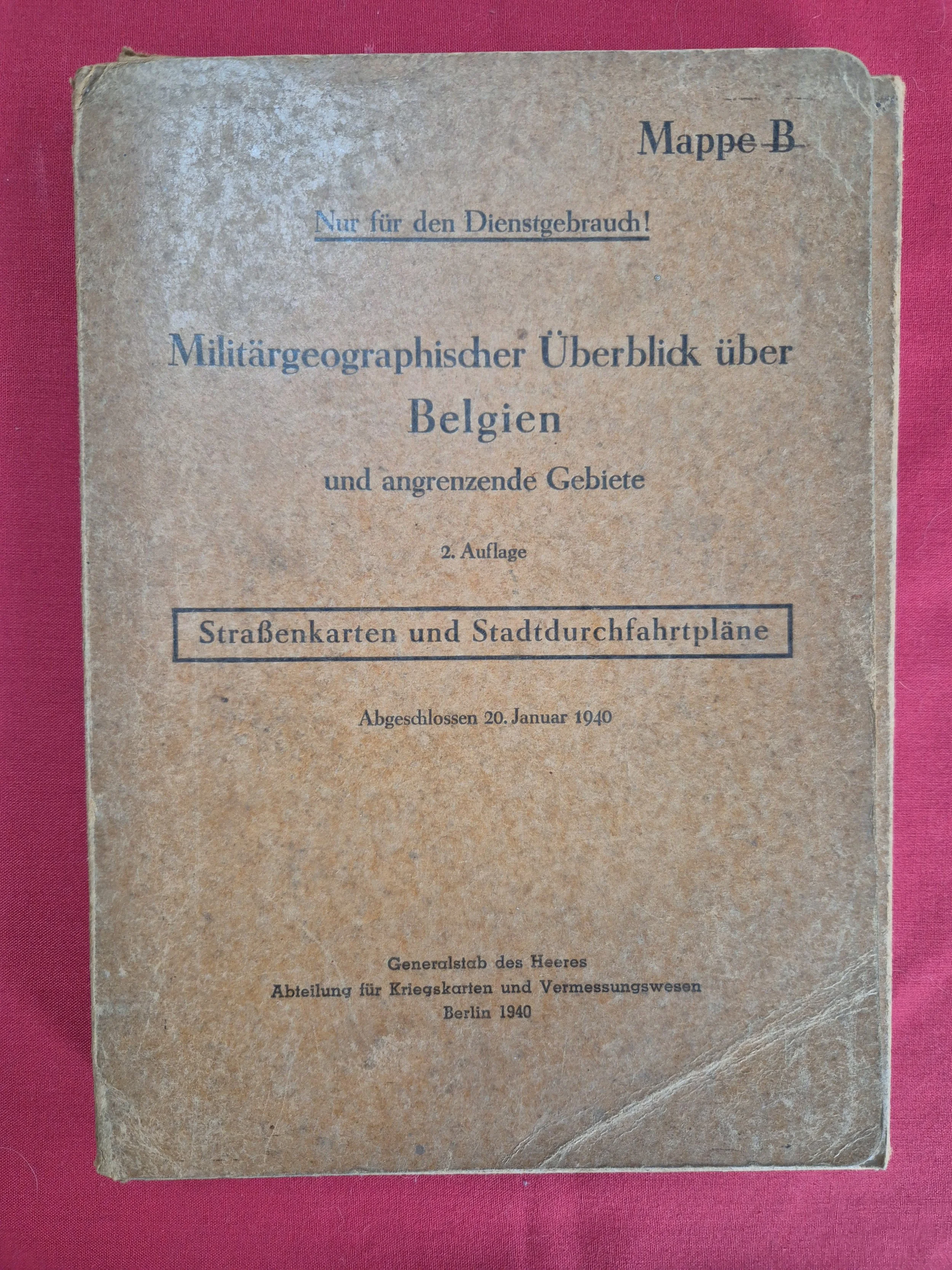 Image 1 of 23
 Image 2 of 23
 Image 3 of 23
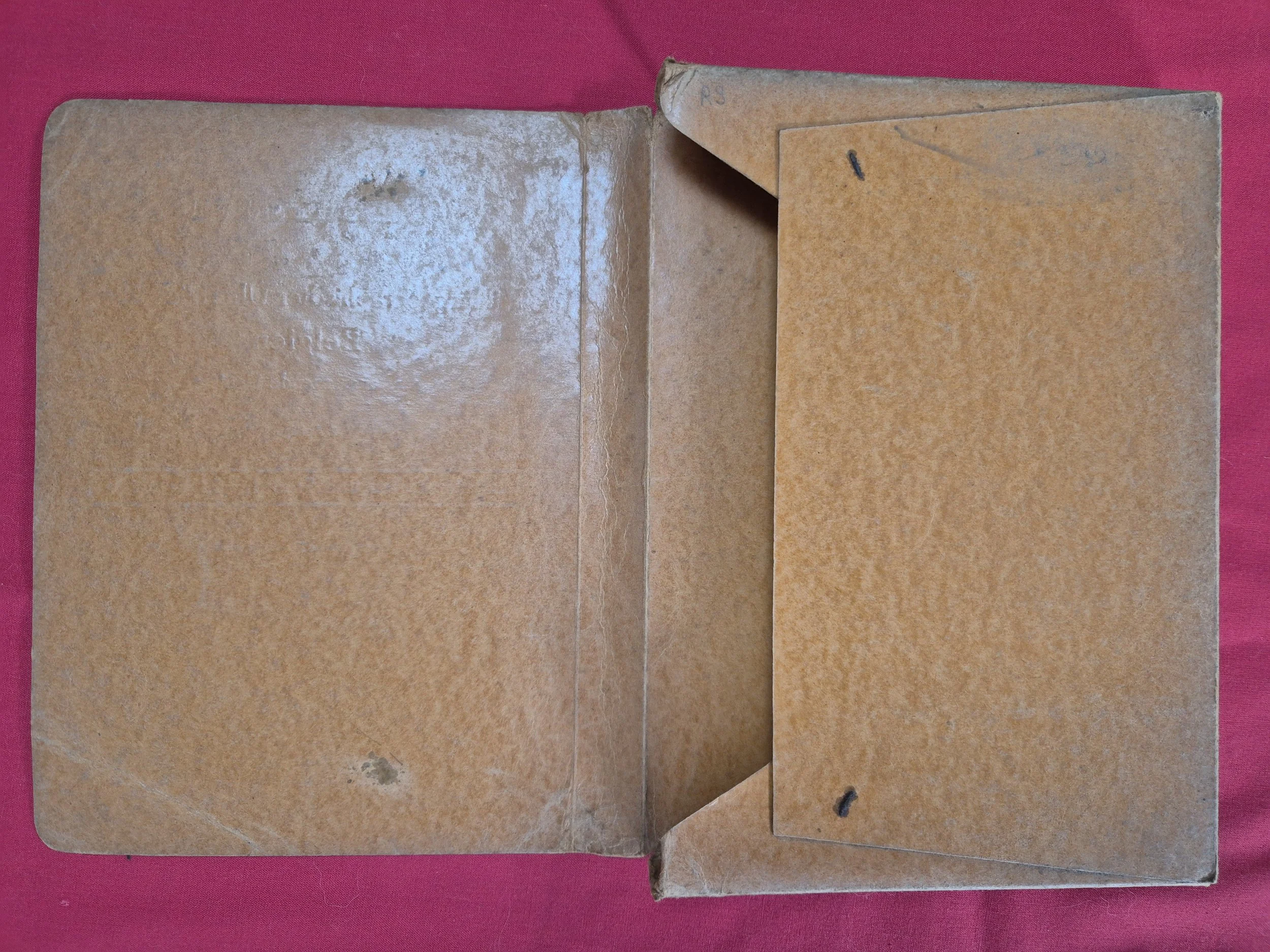 Image 4 of 23
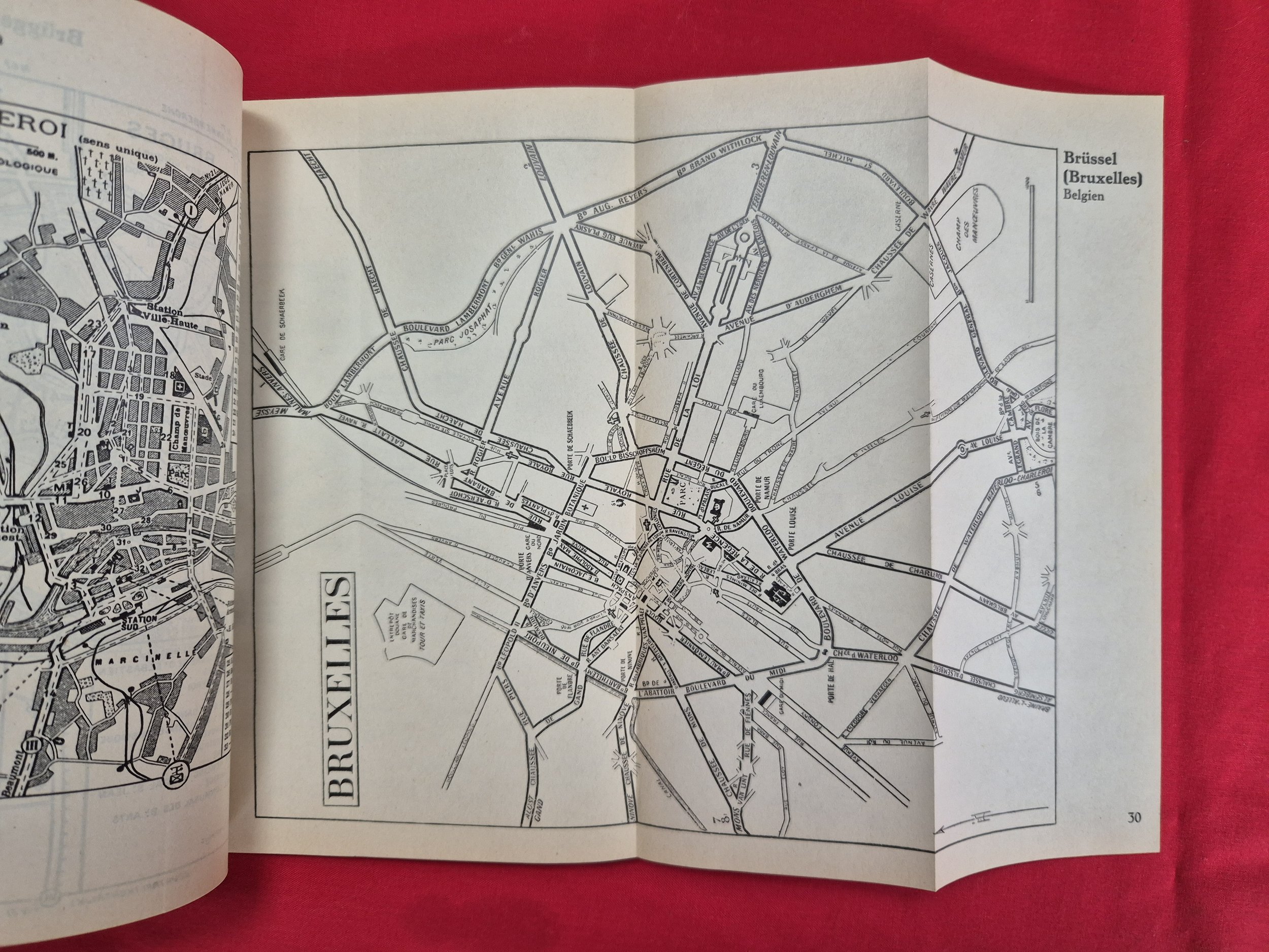 Image 5 of 23
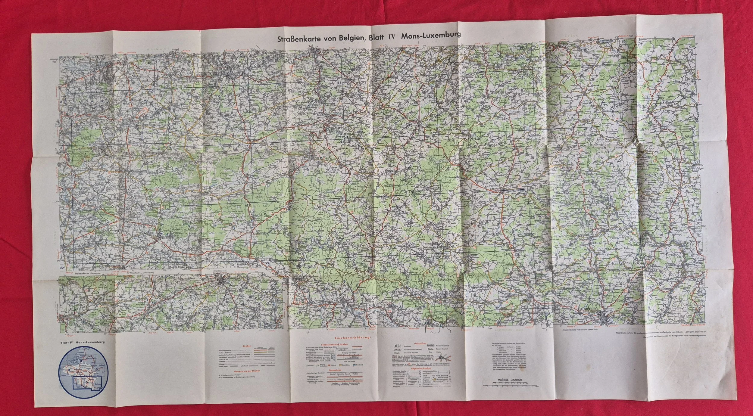 Image 6 of 23
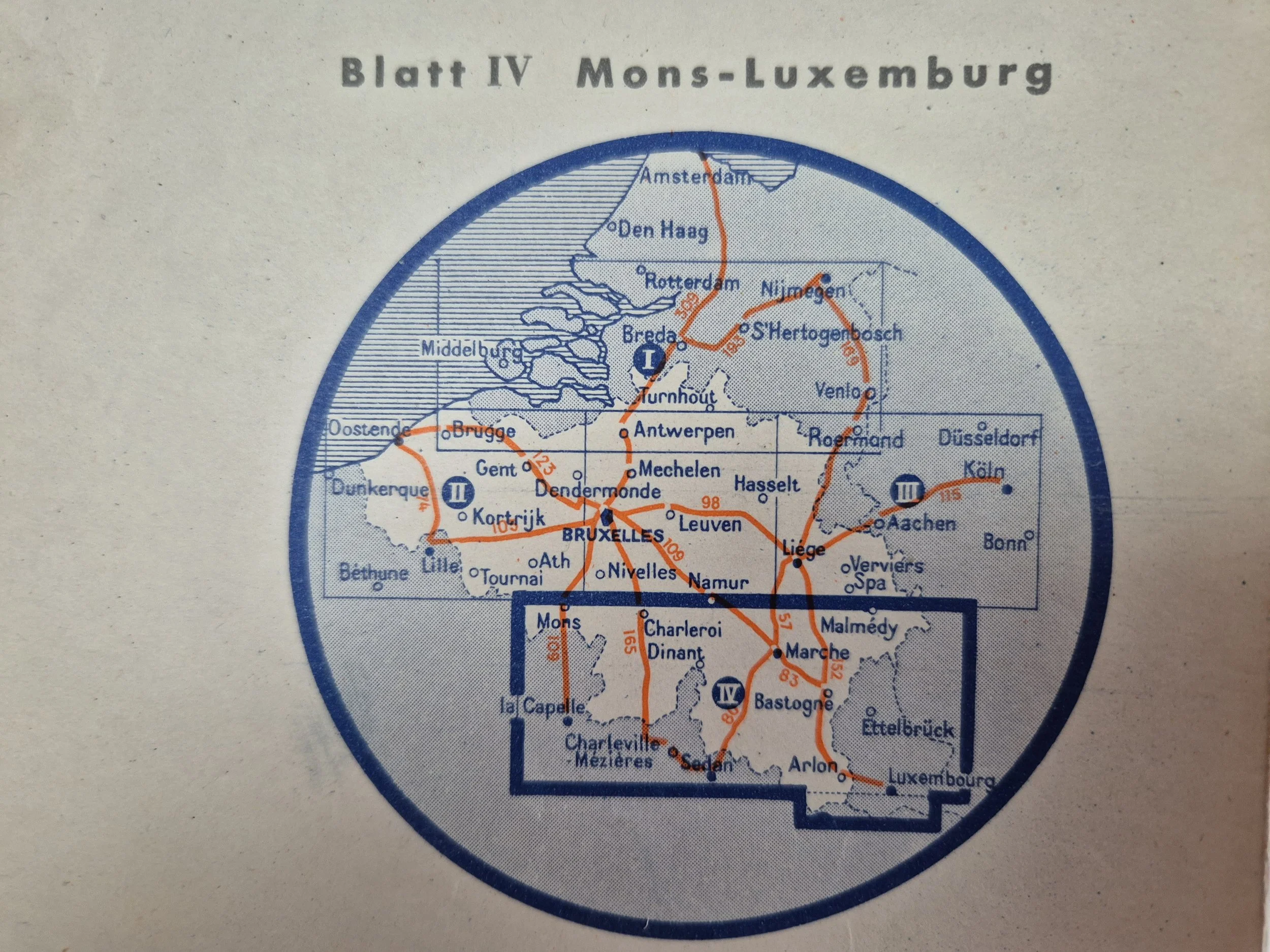 Image 7 of 23
 Image 8 of 23
 Image 9 of 23
 Image 10 of 23
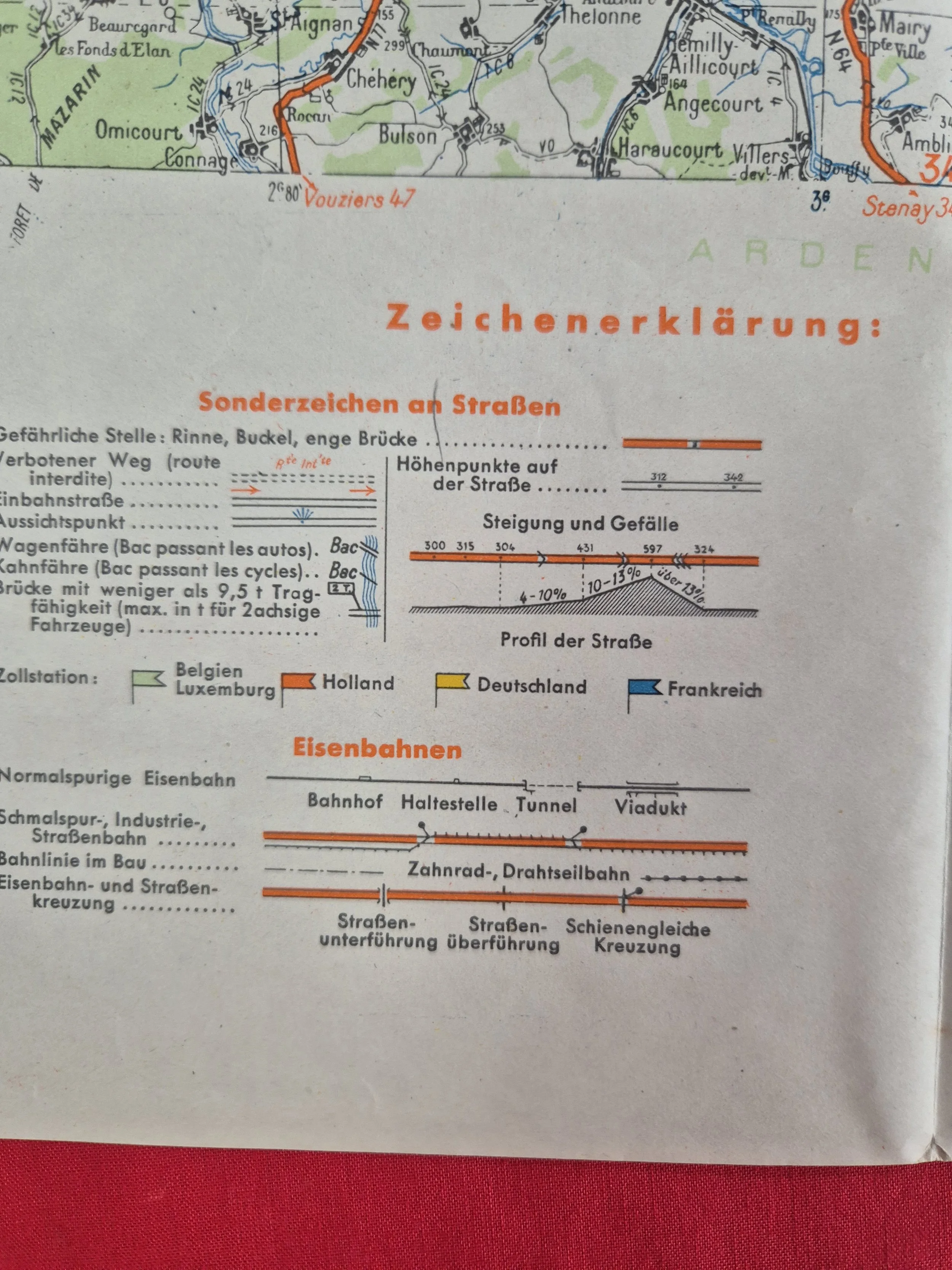 Image 11 of 23
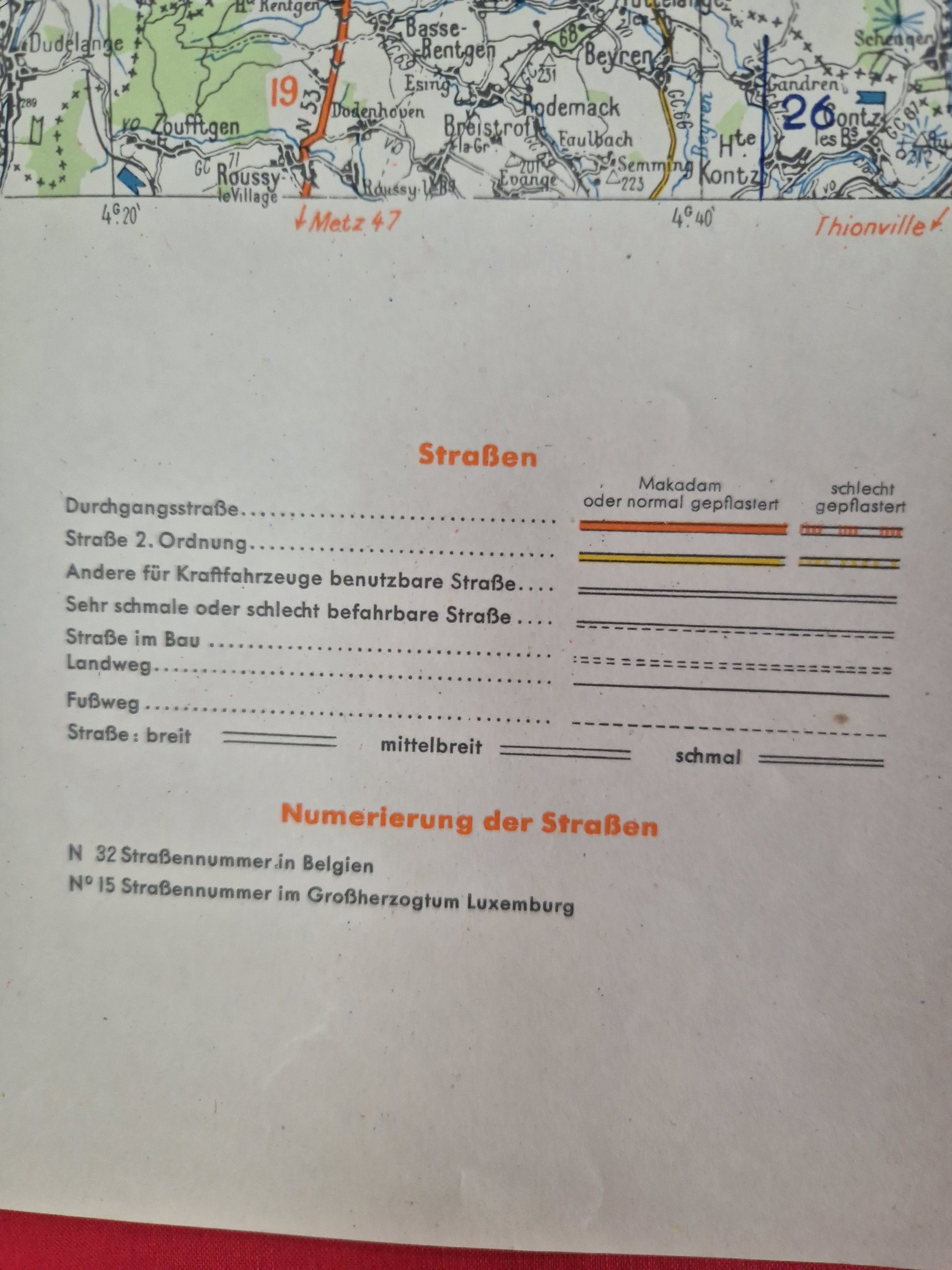 Image 12 of 23
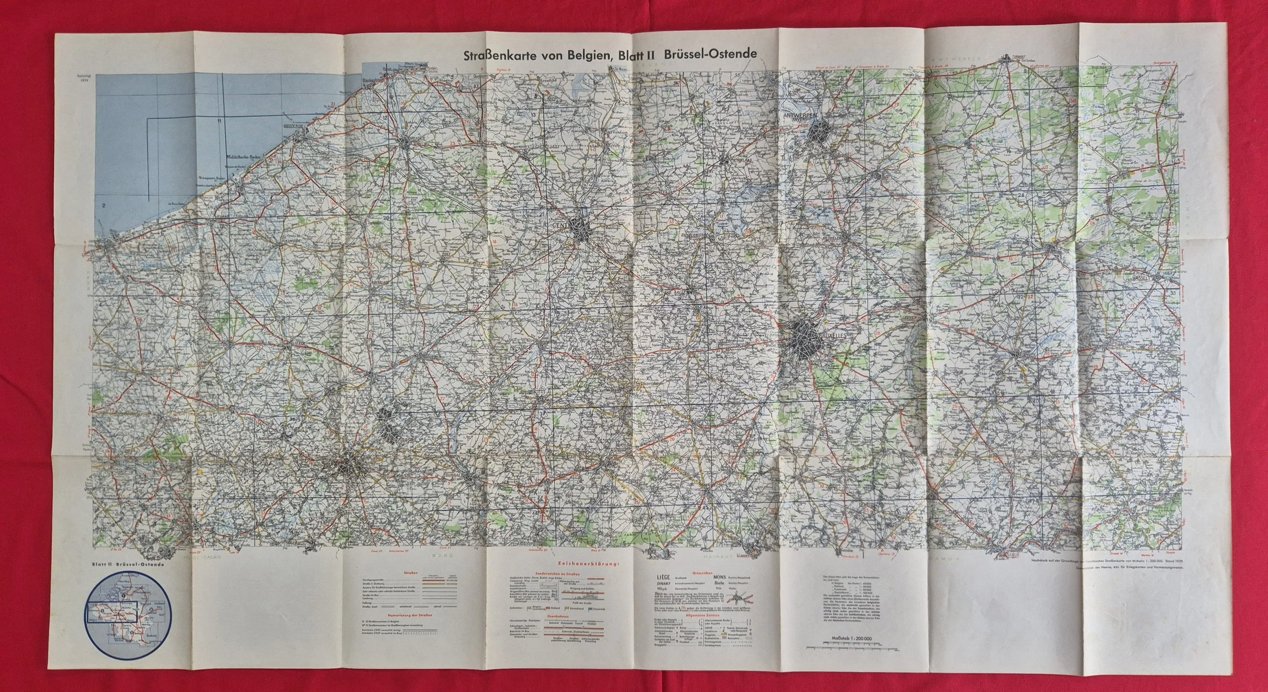 Image 13 of 23
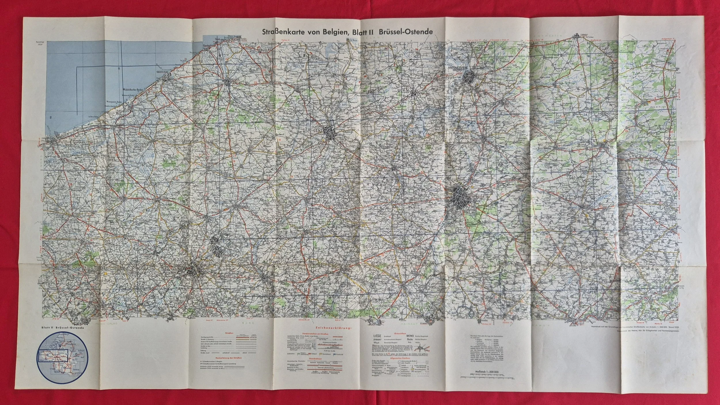 Image 14 of 23
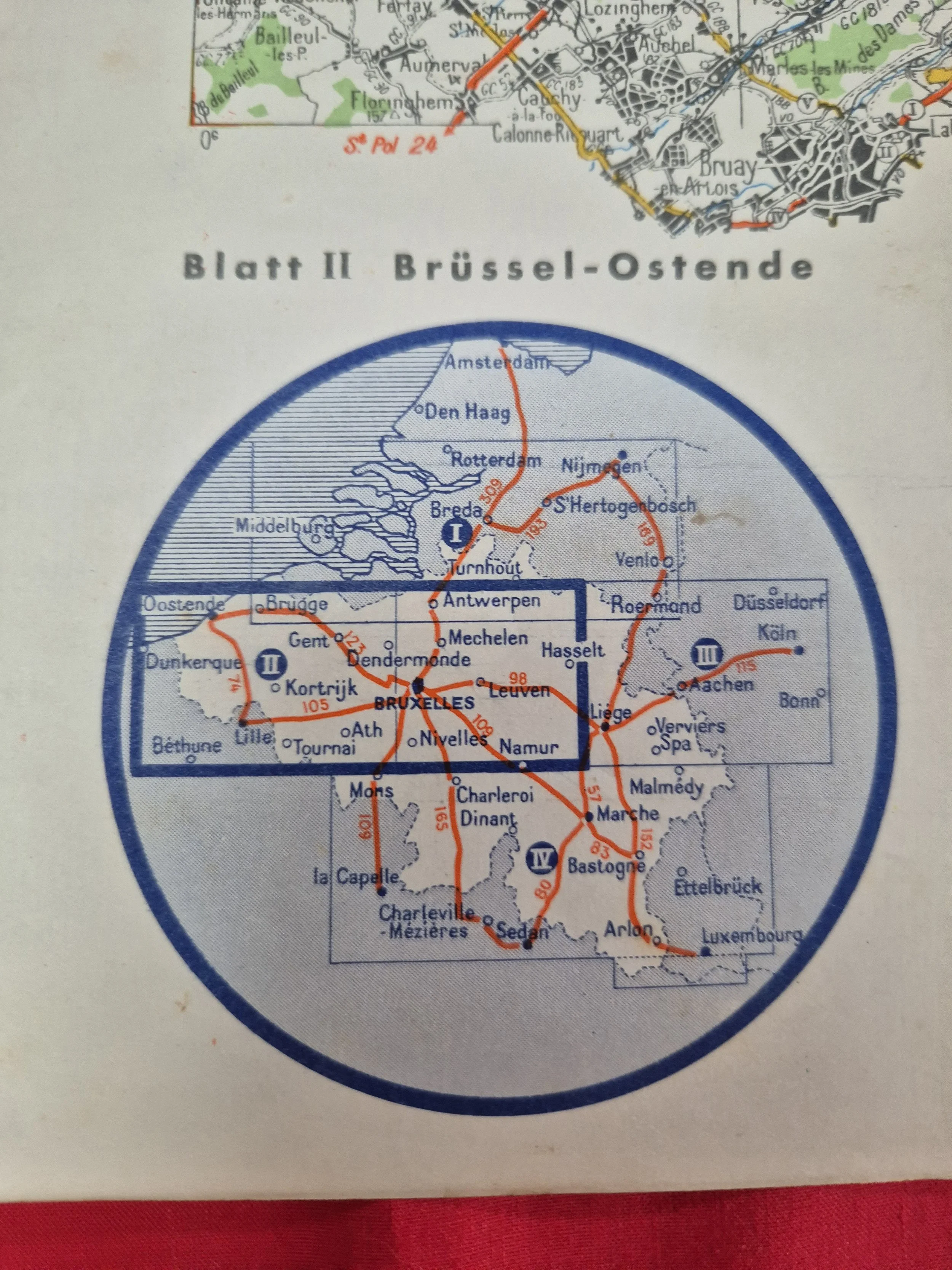 Image 15 of 23
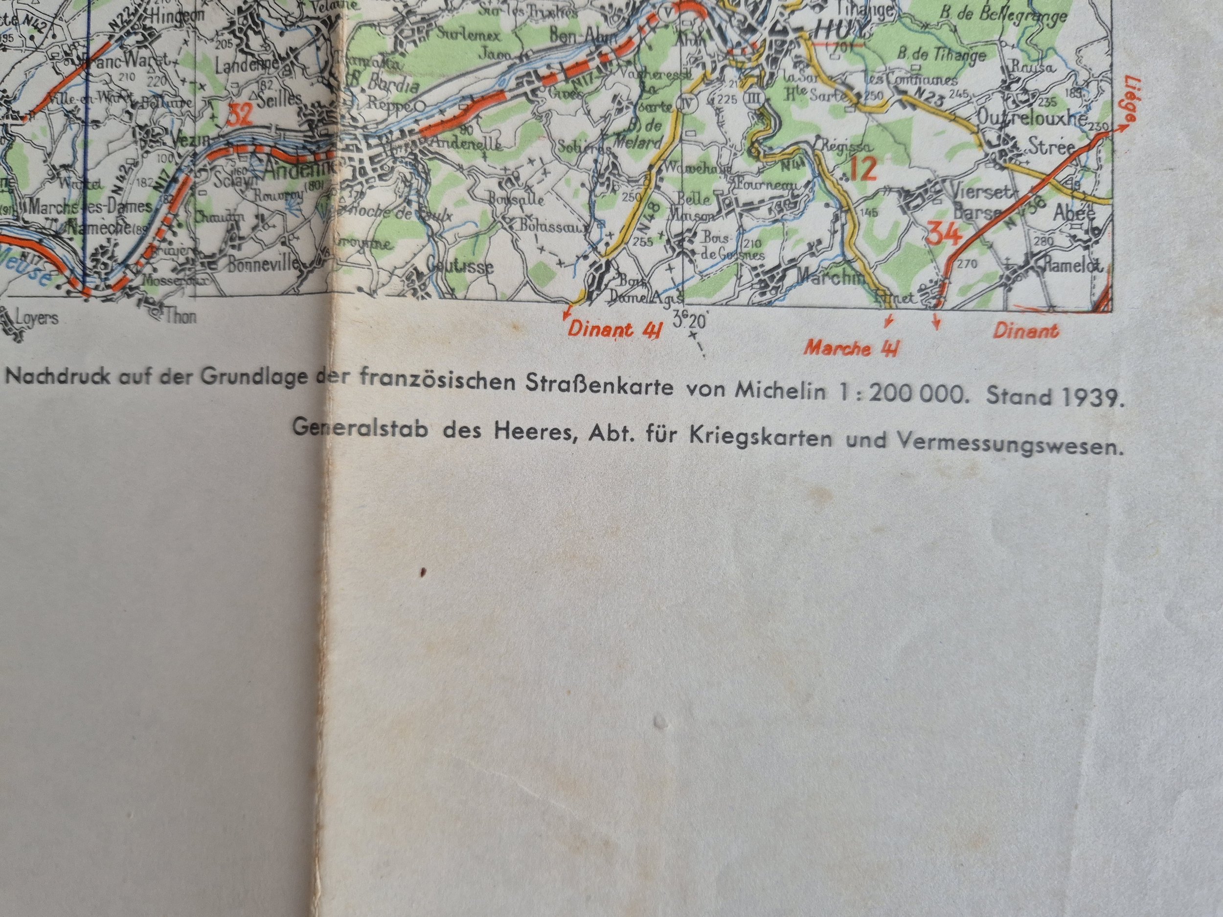 Image 16 of 23
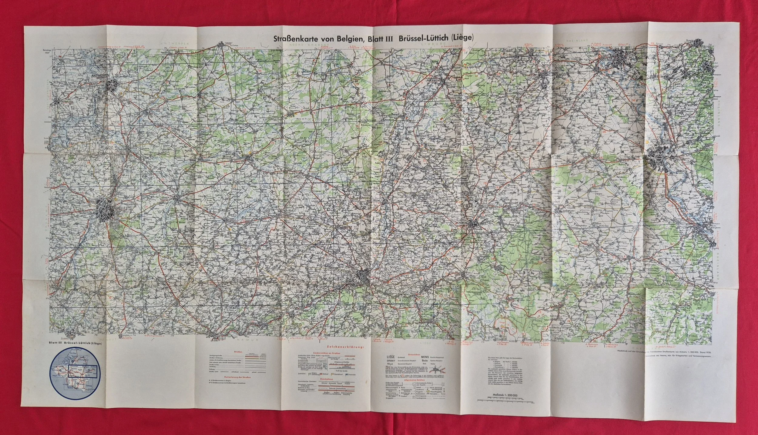 Image 17 of 23
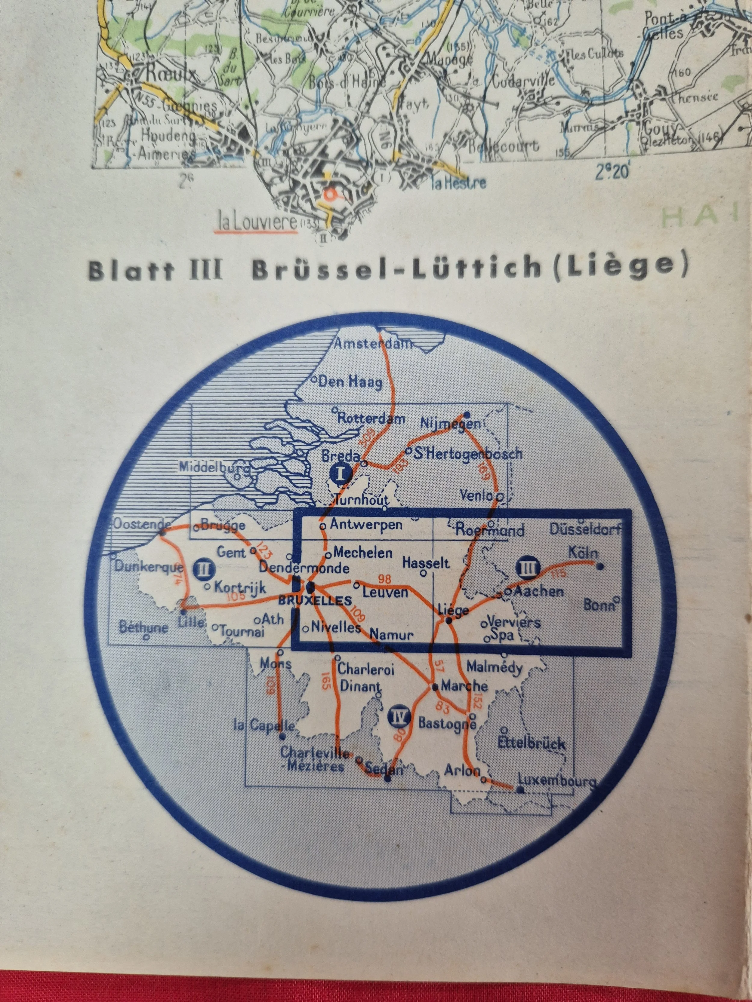 Image 18 of 23
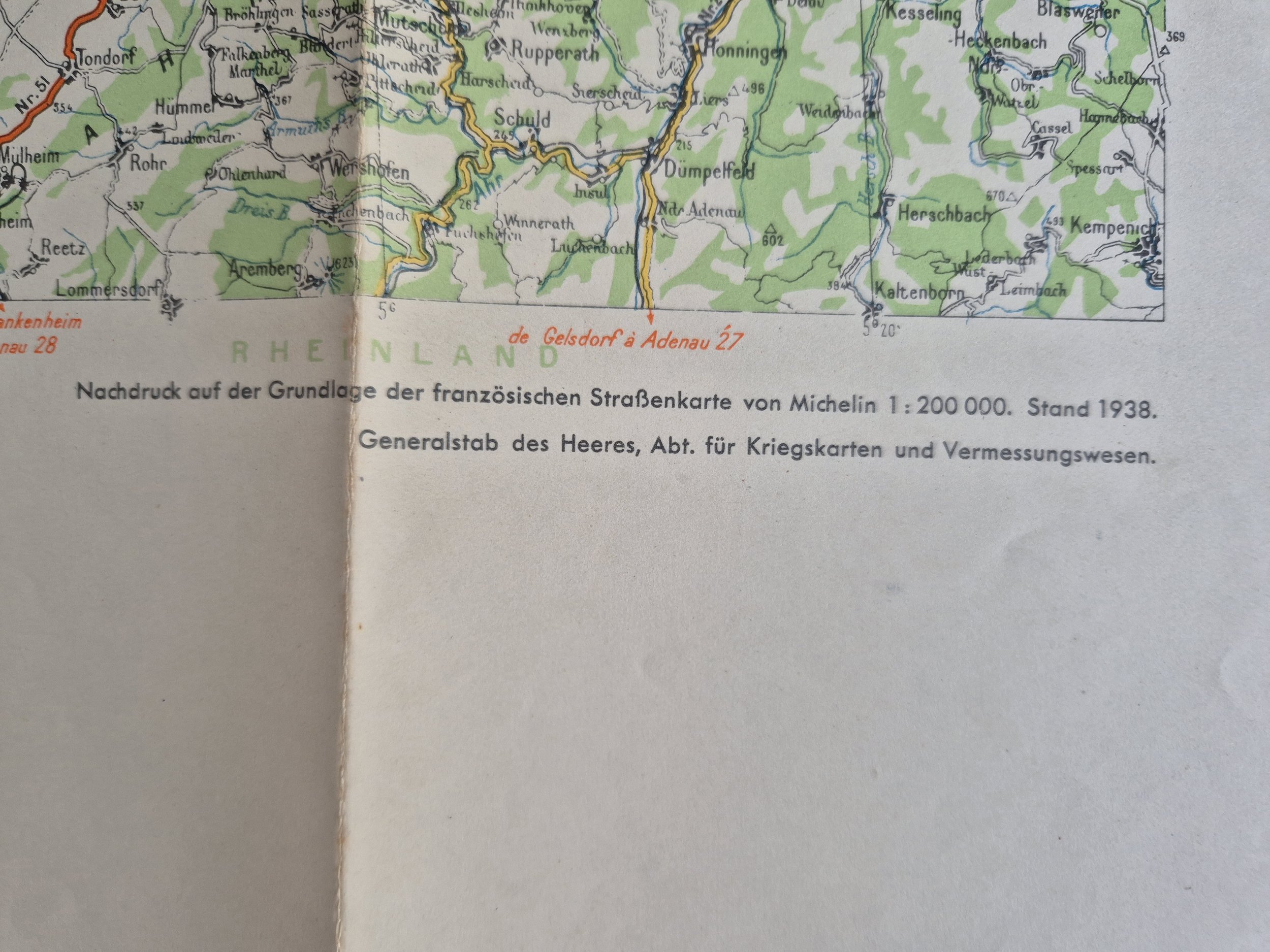 Image 19 of 23
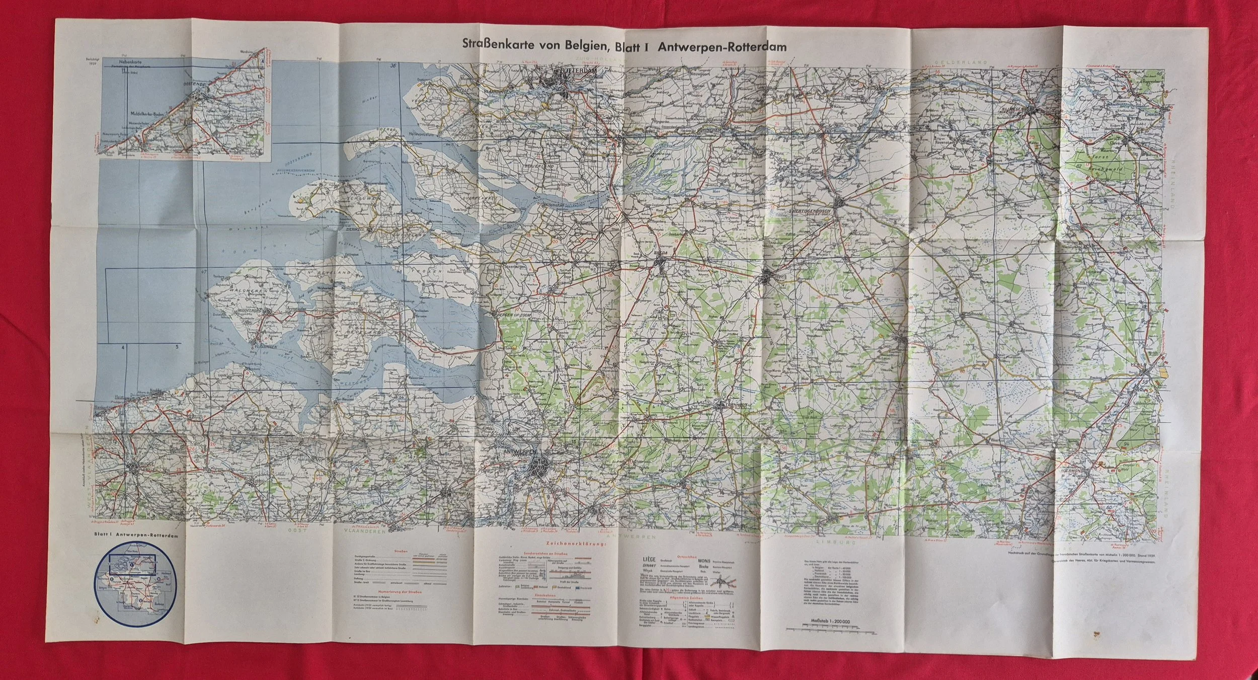 Image 20 of 23
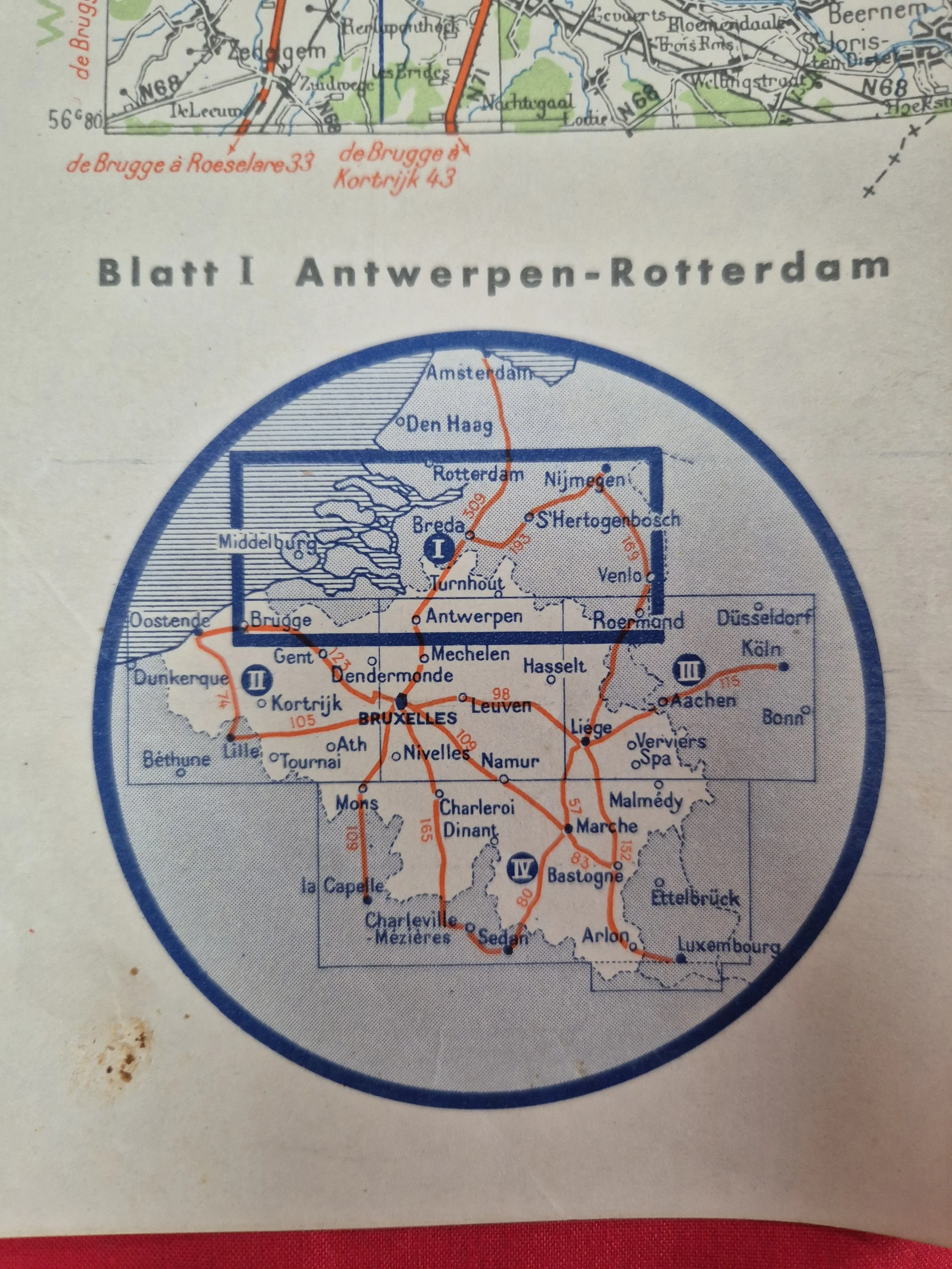 Image 21 of 23
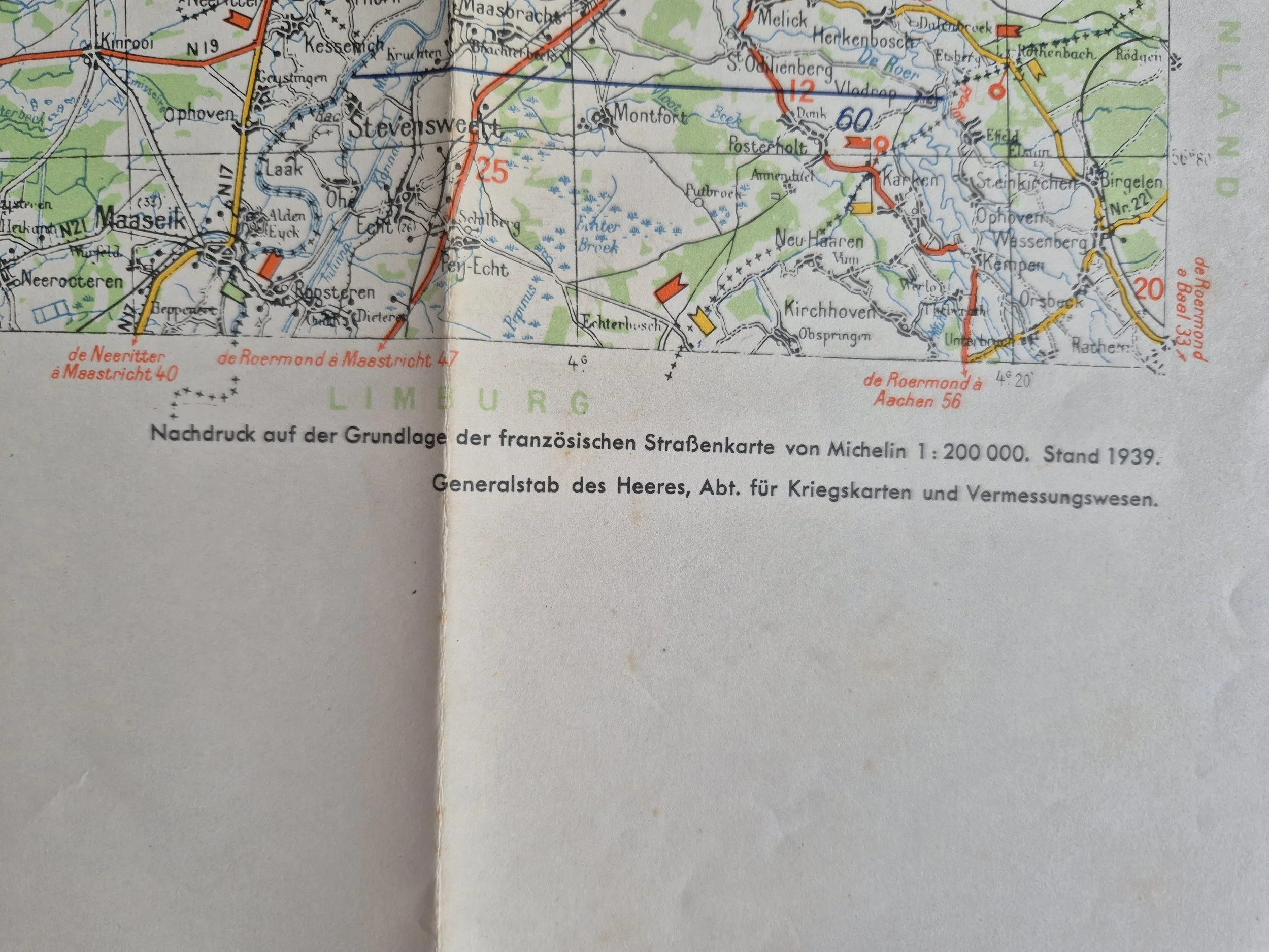 Image 22 of 23
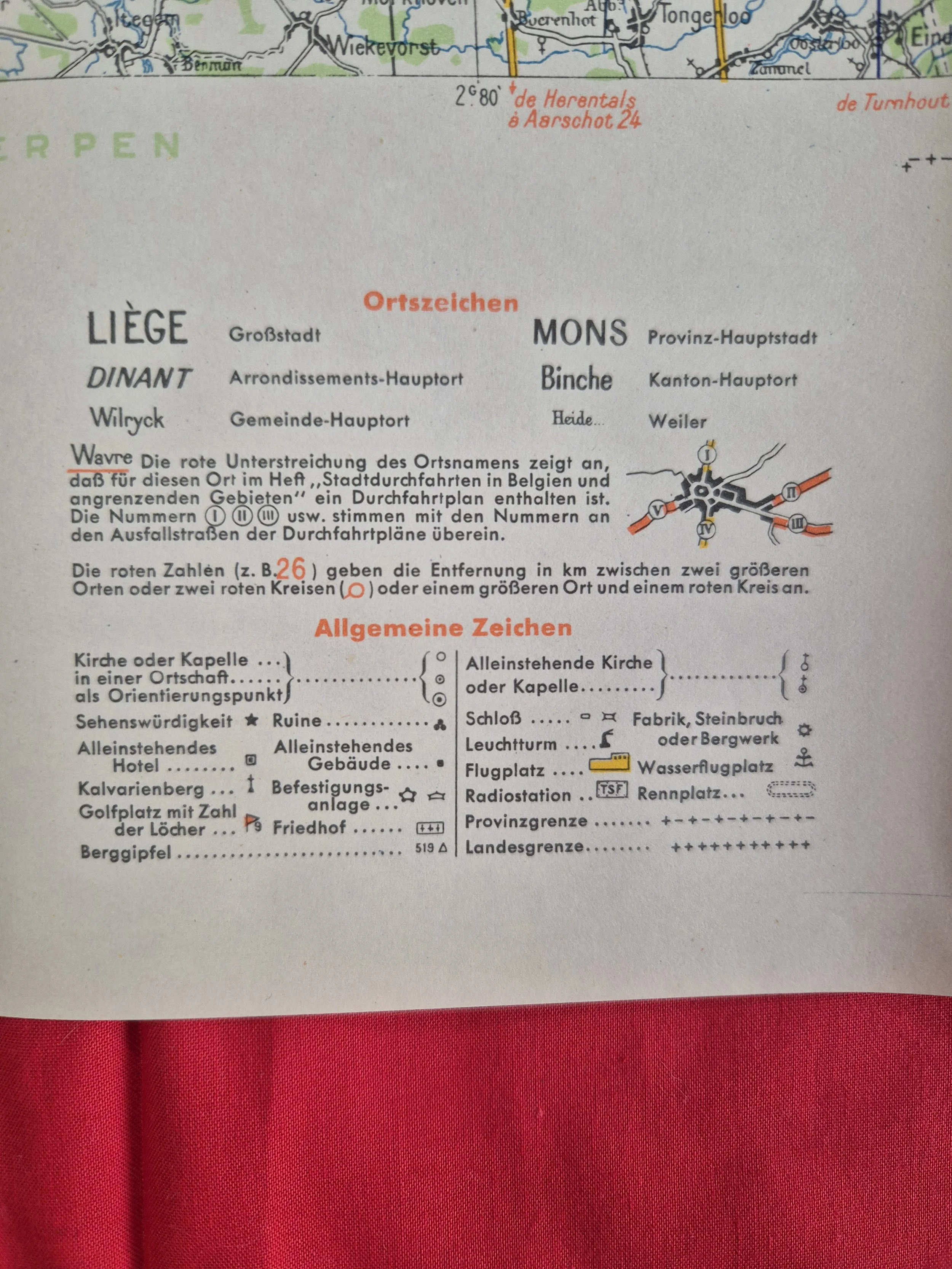 Image 23 of 23