This is a large, perspex-framed German Wehrmacht that was a captured Belgium map which are fragments of the Liege area in the Ardennes forest,. This rare paper relic is a beautiful piece that retains much of its original colour with lots of pictures and information. The paper remains solid and intact, with no crumbling or damage, and has been mounted in a perspex-fronted frame measuring 20 inches long by 16 inches wide making it perfect for display or a collection.
German Wehrmacht that was a captured Belgium or French map fragment of the Liege area of the Ardennes. The map was taken from a German vehicle of the 116th Panzer Division. The vehicle was abandoned in Mont village near Houffalize in the Ardennes Forest during the Battle of the Bulge in the winter of 1944-1945.
The map with other parts were taken from abandoned German vehicles in the village of Mont, which is just North of Houffalize. This was between 1946-1948 and by a local farmer who stored the pieces for many years, until they were found by a local collector. These were then held in a private collection until 2018 when it left the Ardennes area for the first time since the war. Unfortunately, over the years the map got damaged and ripped; there is only a section of map left.
This is a large, perspex-framed German Wehrmacht that was a captured Belgium map which are fragments of the Liege area in the Ardennes forest,. This rare paper relic is a beautiful piece that retains much of its original colour with lots of pictures and information. The paper remains solid and intact, with no crumbling or damage, and has been mounted in a perspex-fronted frame measuring 20 inches long by 16 inches wide making it perfect for display or a collection.
German Wehrmacht that was a captured Belgium or French map fragment of the Liege area of the Ardennes. The map was taken from a German vehicle of the 116th Panzer Division. The vehicle was abandoned in Mont village near Houffalize in the Ardennes Forest during the Battle of the Bulge in the winter of 1944-1945.
The map with other parts were taken from abandoned German vehicles in the village of Mont, which is just North of Houffalize. This was between 1946-1948 and by a local farmer who stored the pieces for many years, until they were found by a local collector. These were then held in a private collection until 2018 when it left the Ardennes area for the first time since the war. Unfortunately, over the years the map got damaged and ripped; there is only a section of map left.

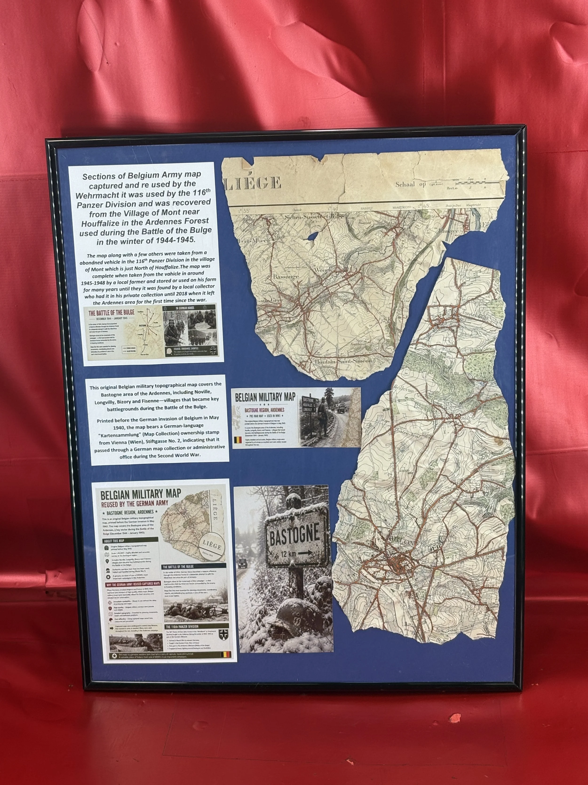 Image 1 of 9
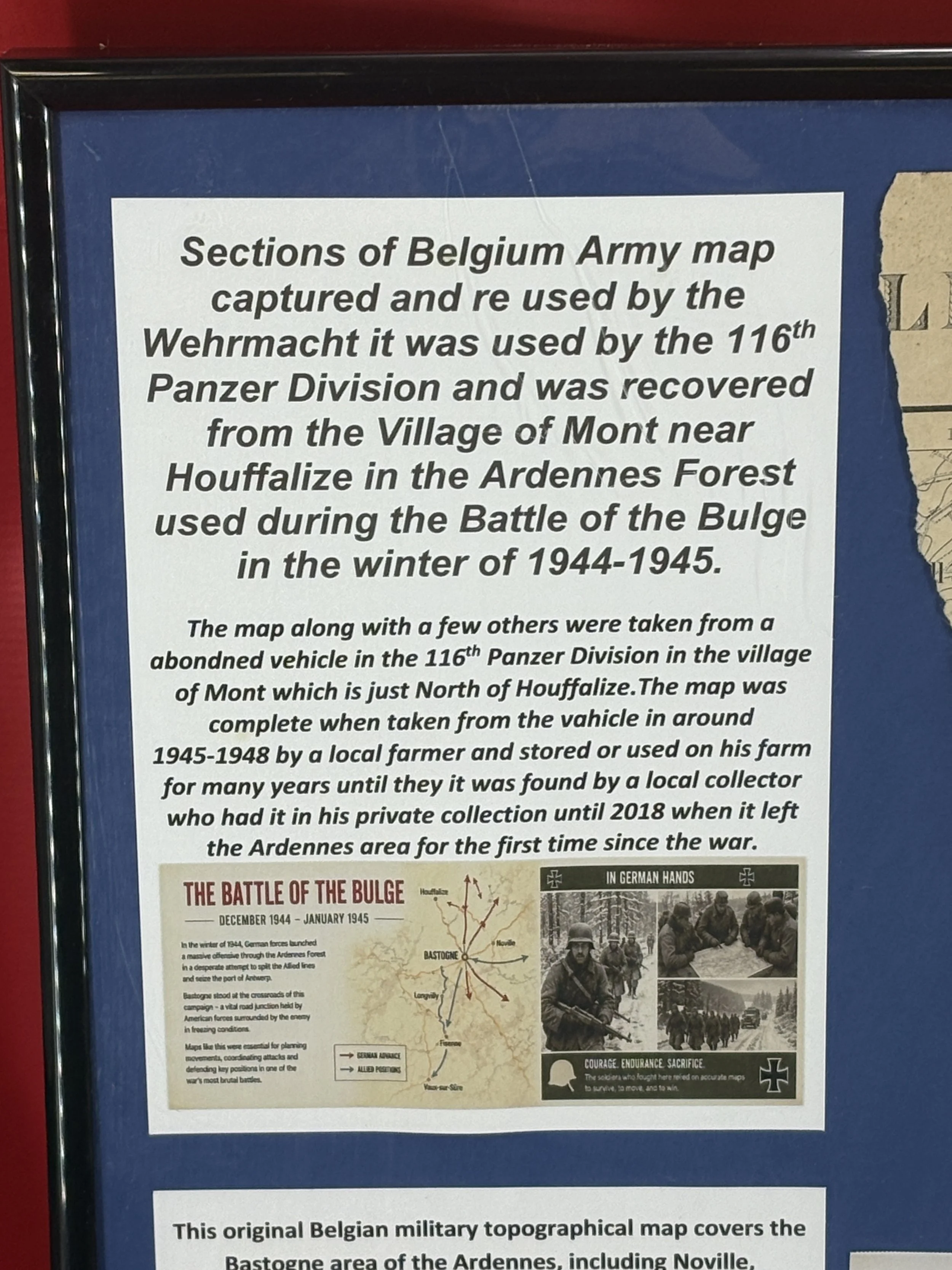 Image 2 of 9
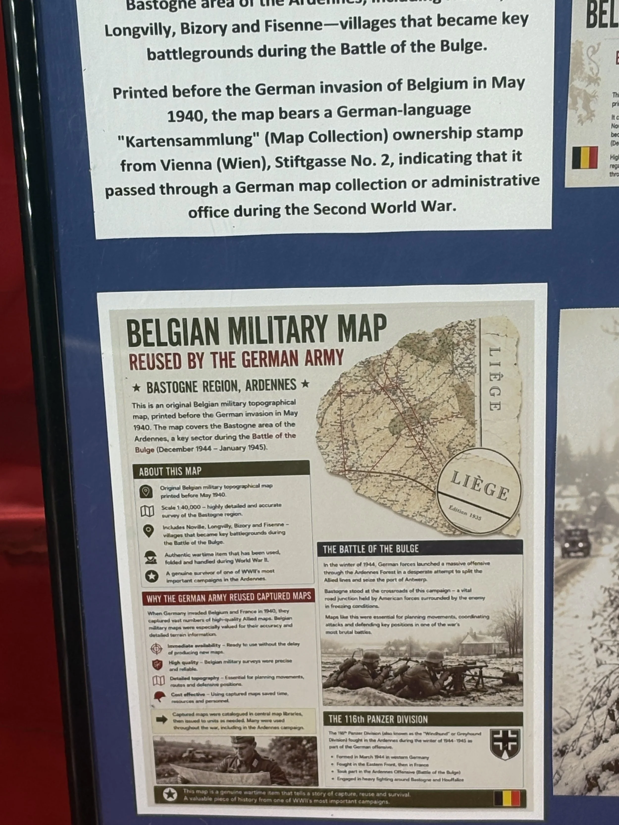 Image 3 of 9
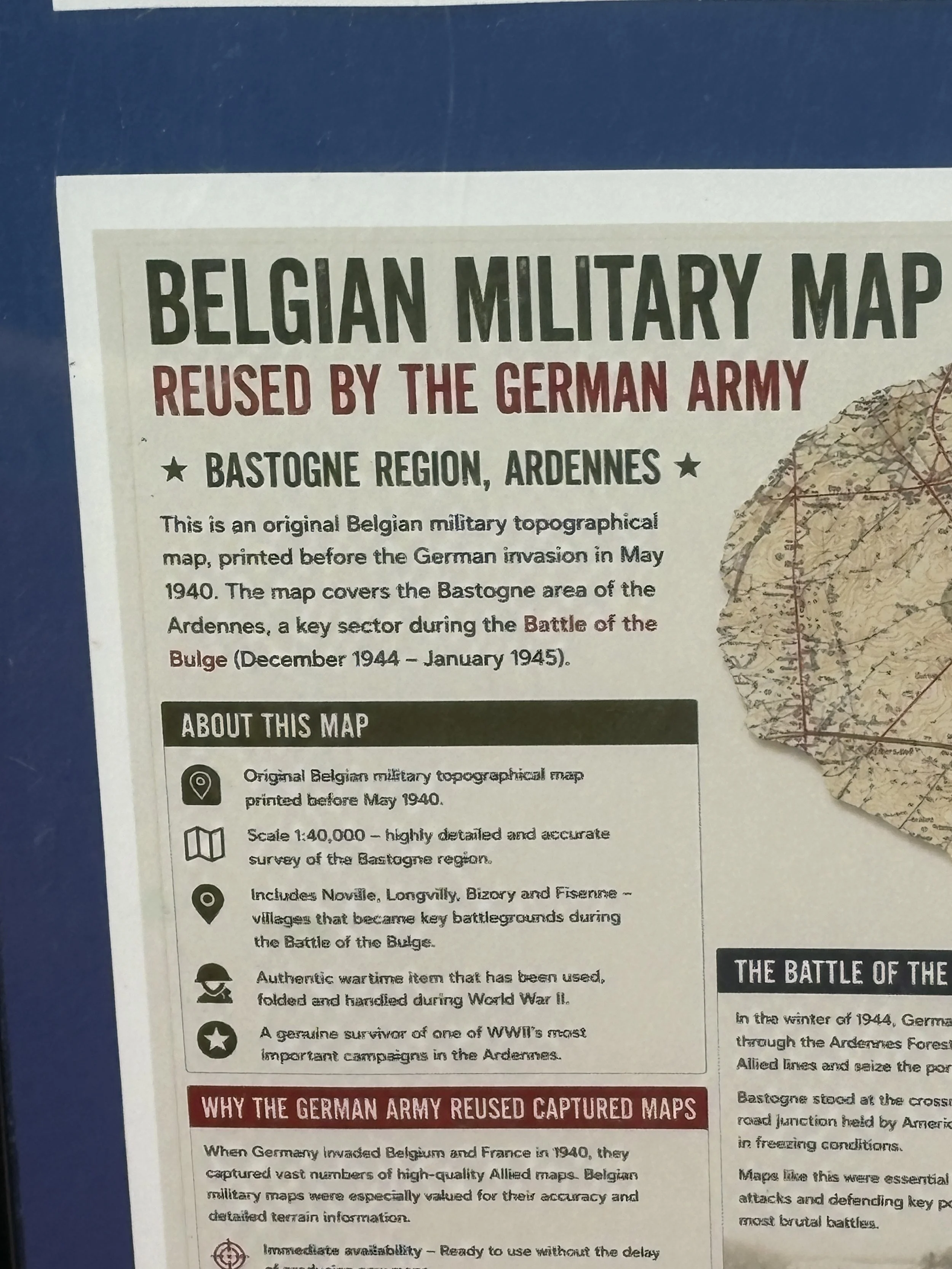 Image 4 of 9
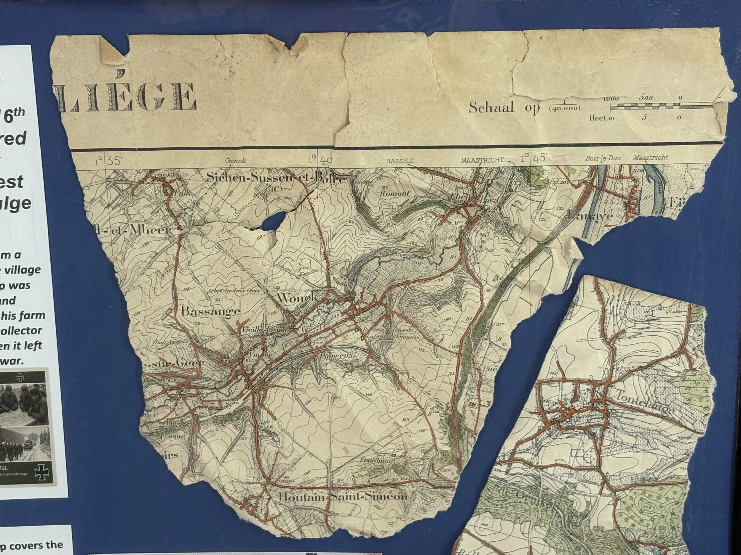 Image 5 of 9
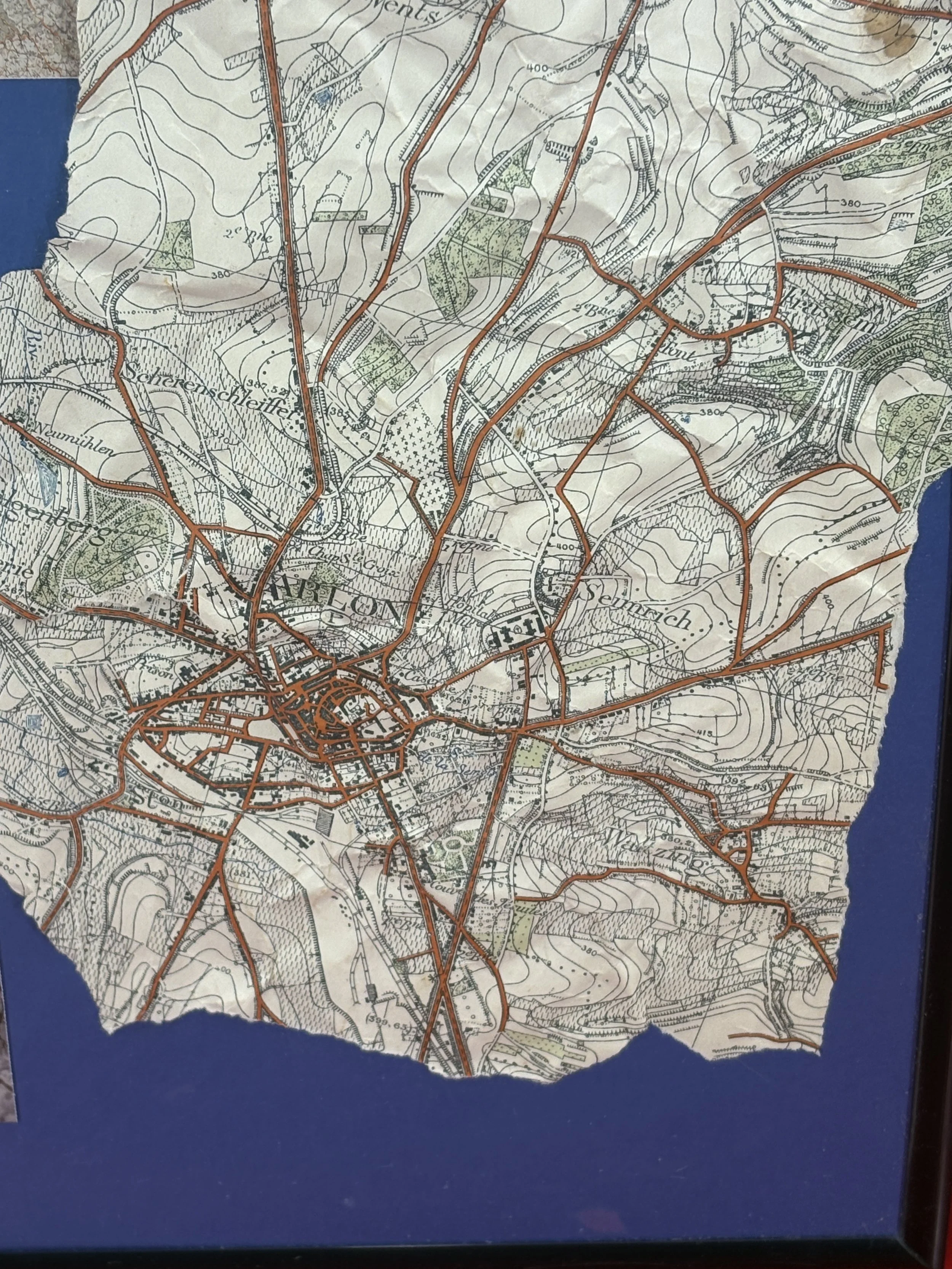 Image 6 of 9
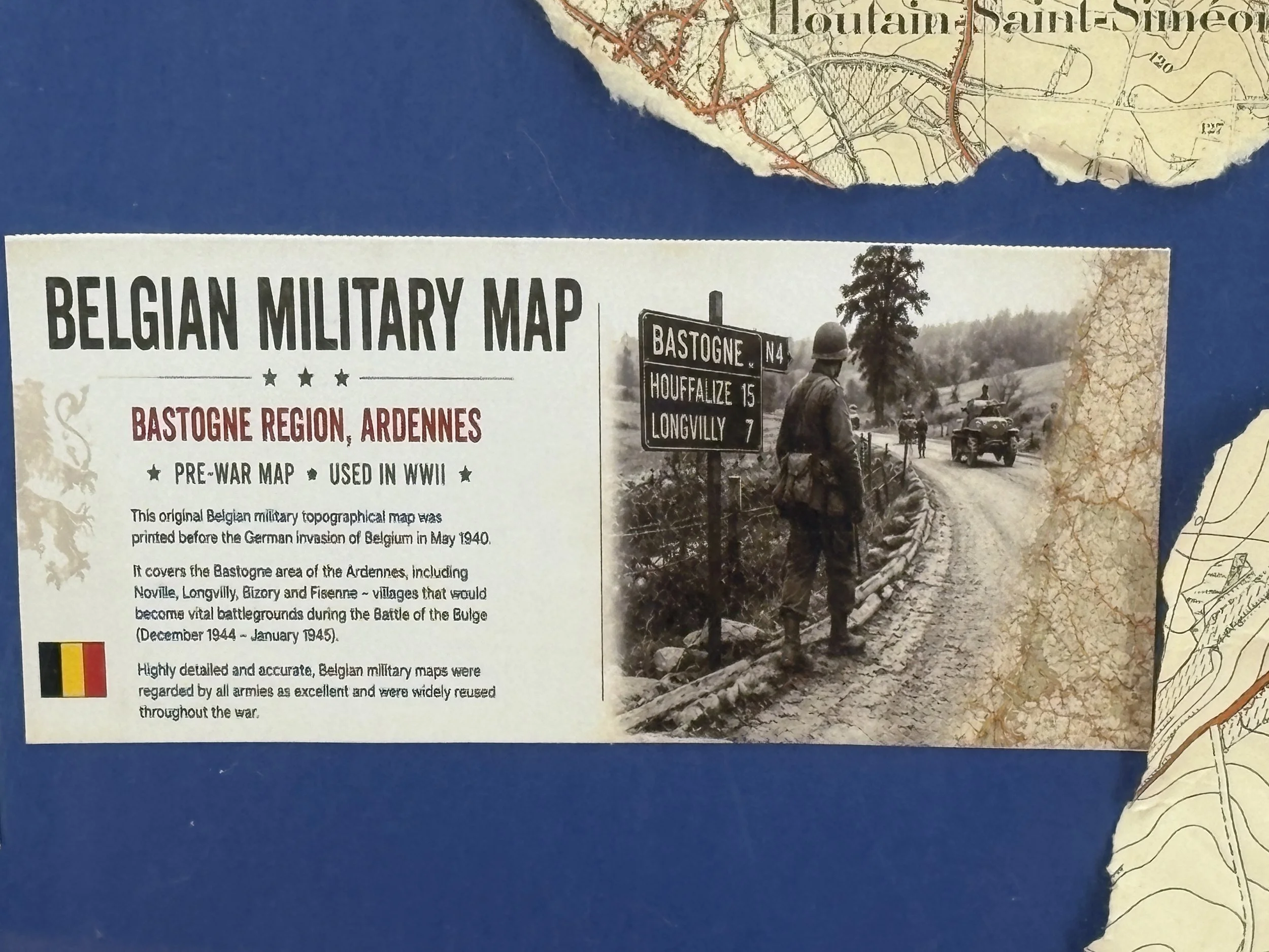 Image 7 of 9
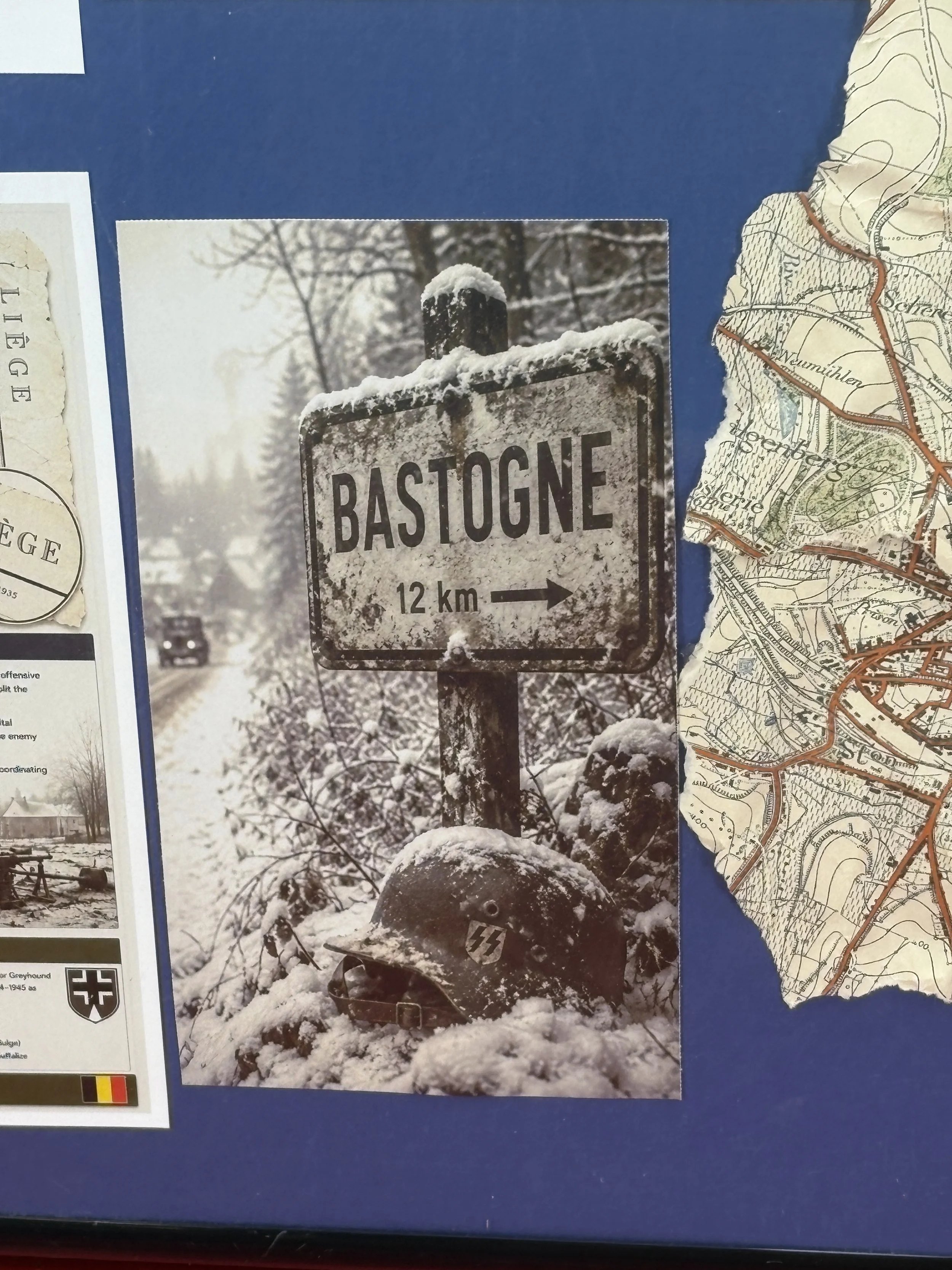 Image 8 of 9
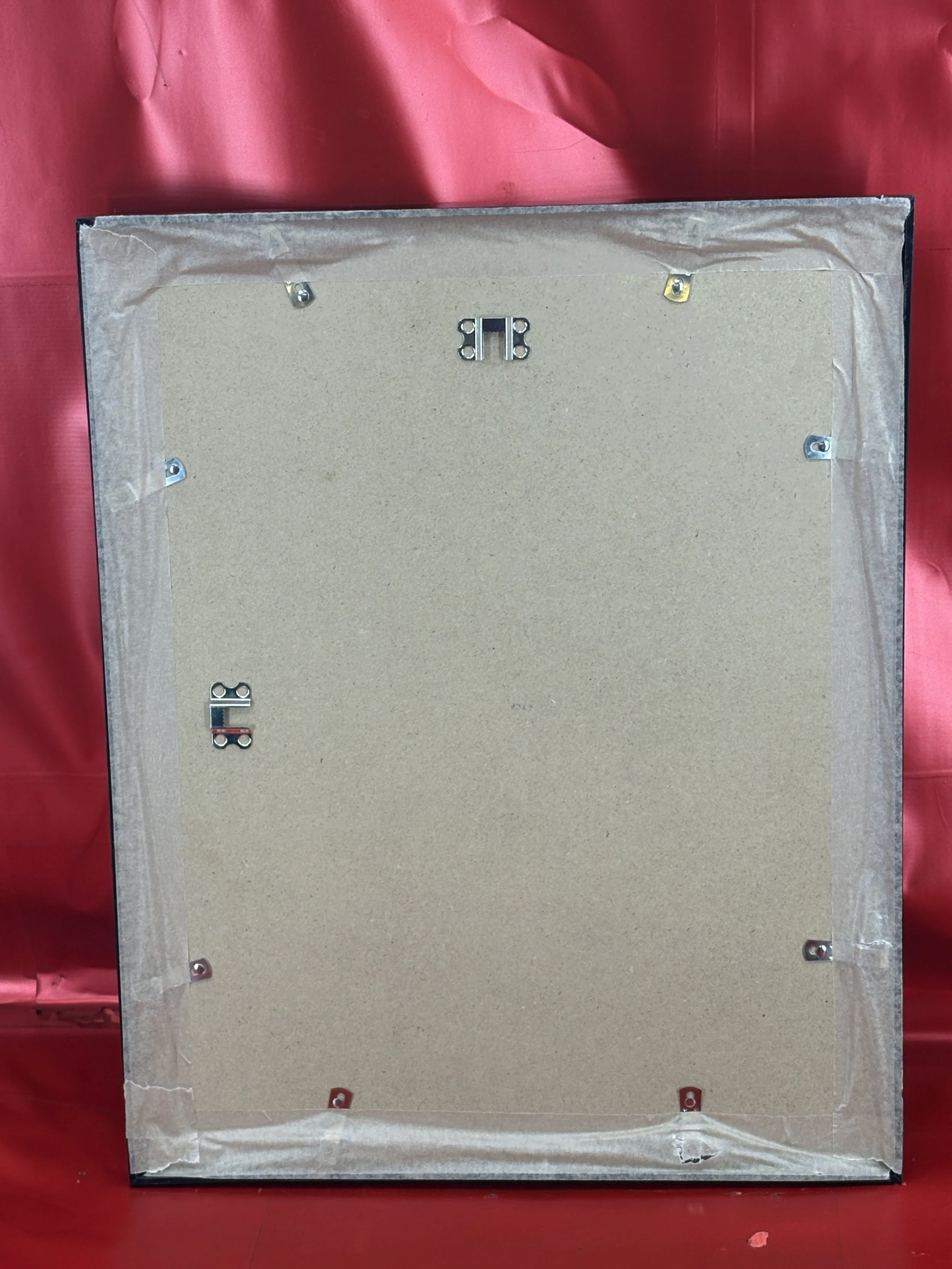 Image 9 of 9